Categories
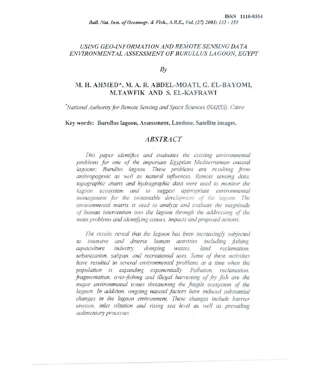
vol-27USING GEO-INFORMA170N AND REMOTE SENSING DATA
ENVIRONMENTAL ASSESSMENT OF BURULLUS LAGOON, EGYPT
By
M. H. AHl\tIED*, lVi. A. R ABDEL-lVIOATI, G. EL-BAYOlVII,
M.TAWFIK AND S. EL-KAFRAWI
“National AuthoriO:for Remote Sensing and Space Sciences (NARSS) , Cairo
Key words: Burullus lagoon, Assessment, Landuse, Satellite images.
ABSTRACT
This paper identifies and evaluares lhe exisling em’ironmenral
problems for one of the imporrant Egyptian iv!editerranean coastal
lagoons: BU11l11lls lagoon. These problems are resulring from
anthropogenic as well as nal1lral influences. Remote sensing dala.
lopographic cham and h)!drographic dara were used to monitor the
lagoon ecosyslenz and 10 suggesl appropriare em”ironmenral
managemenr for the sustainable del’ fopment of the lagoon The
environmental matrix is IIsed 10 anafy::e and evaillate (he magnilude
of human inrerwntion into lhe lagoon lhrough the addressirw of the
main problems and identifying causes. impacls and proposed actions.
The resulls rel’eal lhat the lagoon has been increasingly SlIbJected
to intensive and diverse human activities including fishing.
aquaculture induSI1)’. dumping >v”QSles, land reclamation,
urbanization saltpan. and recreational IIses. Some of these activities
have resulted in several environmenral problems at a time when the
population is e;.panding exponentially. Pollution. reclamation,
fragmentation. over-fishing and illegal han’esting of fly fish are (he
mQ}0r em,”ironmental issues threatening the fragile ecosystem of the
lagoon. In addition. ongoing natural faclOrs have induced substantial
changes in lhe lagoon environment. These changes include barrier
erosion, inlet silrarion and rising sea lel’el as well as prevailing
sedimentQlY processes.
